New 80km Road in Dubai: Route, Location & Latest Updates
Published :
Last Updated :
- What Is the Fourth Corridor?
- Why Dubai Is Building a Fourth Corridor
- Closing In
The Dubai government has given the green light for a new 80km motorway that links the Emirate to Sharjah and Abu Dhabi as part of a major effort to ease traffic jams. The officials have given it the name the Fourth Corridor, and it will be the fourth strategic road link between the emirates.
It was officially announced in mid-September 2026, and the project will be built in two stages. This guide details the route, provides the complete project requirements, the two construction stages, and what the new corridor may offer to buyers of property along the way.
What Is the Fourth Corridor?
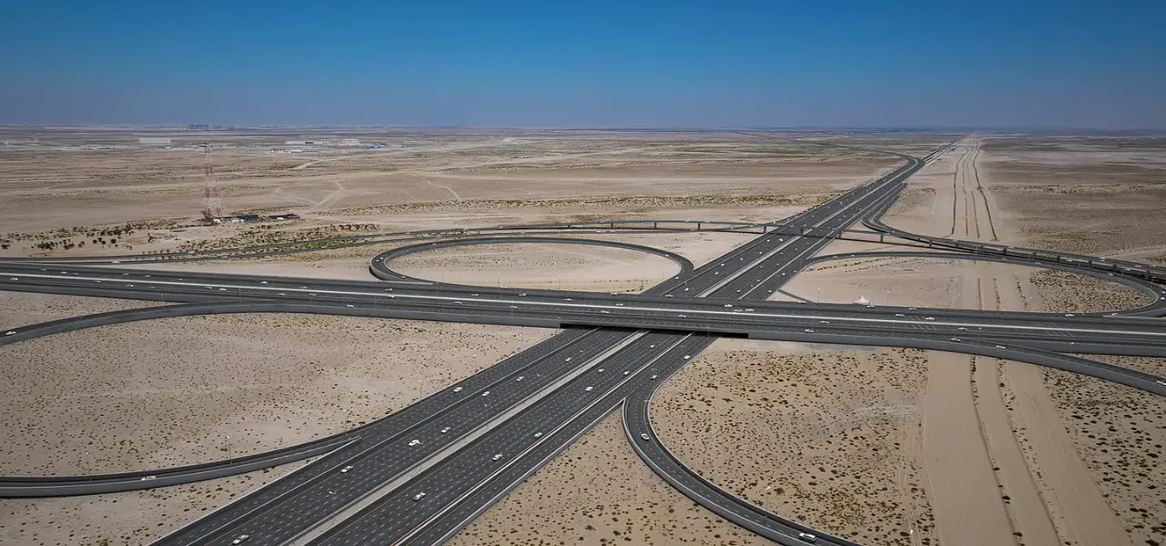
The Fourth Corridor will be a 80 km stretch linking Al Faya Road in Abu Dhabi to Al Shanouf Road in Sharjah, via Dubai. Sheikh Hamdan bin Mohammed, Crown Prince of Dubai, Deputy Prime Minister and Minister of Defence, officially announced the project's approval. It is the fourth major road linking Emirates after Sheikh Zayed Road and Al Ittihad Road, Sheikh Mohammed bin Zayed Road and Emirates Road. Roads and Transport Authority (RTA) of Dubai is delivering the project.
Unlike the other three routes, the Fourth Corridor is more inland and nearer to Dubai's growth areas. The majority of commuters heading along the Dubai coastline travel along Sheikh Zayed Road and Al Ittihad Road, leading to Downtown Dubai and Dubai Marina. Inland traffic also heads west along Sheikh Mohammed bin Zayed Road and Emirates Road, leading to communities like Jumeirah Village Circle and Dubai Investment Park. The new corridor is not a replacement for the three, but an addition that is designed specifically to divert through traffic and freight from the three.
| Existing Corridor | Primary Role |
|---|---|
| Sheikh Zayed Road / Al Ittihad Road | Coastal commuter traffic, Downtown and Marina access |
| Sheikh Mohammed bin Zayed Road | Inland commuter traffic, western communities |
| Emirates Road | Inter-emirate and inland freight movement |
| Fourth Corridor (new) | Through traffic and freight diversion, southern route |
Positioning the Fourth Corridor this way means it complements rather than competes with the existing network, giving drivers and freight operators an additional route option during peak periods.
Project Specifications at a Glance
The entire 80km corridor is designed in a single fashion for both phases. It will have 12 lanes, 6 lanes in each direction and a capacity of up to 24,000 vehicles per hour. This route will have 72 bridges, 17 tunnels and 45 stormwater drainage culverts constructed. When completed, the corridor will be used by up to 3.1 million passengers in the three emirates it will serve, in addition to the local population.
| Specification | Detail |
|---|---|
| Total length | Approximately 80km |
| Route | Al Faya Road, Abu Dhabi, to Al Shanouf Road, Sharjah |
| Lanes | 12 lanes, six in each direction |
| Capacity | Up to 24,000 vehicles per hour |
| Bridges | 72 bridges |
| Tunnels | 17 tunnels |
Phase 1: Al Shanouf Road to Dubai–Al Ain Road
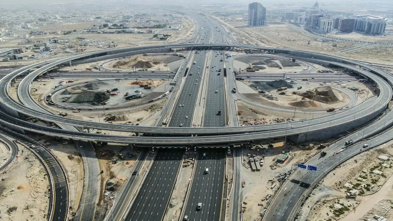
Phase 1 covers roughly 30km, running from Al Shanouf Road in Sharjah to Dubai–Al Ain Road. Its cost is approximately AED 3.5 billion or approximately US $953 million. This stage is expected to reduce the travel time from 35 minutes to 14 minutes (60 per cent) and cater to approximately 600,000 people.
| Phase 1 Detail | Figure |
|---|---|
| Length | Approximately 30km |
| Cost | AED 3.5 billion (US$953 million) |
| Journey time cut | 60%, from 35 minutes to 14 minutes |
| People served | Around 600,000 |
| At-grade roads | Approximately 55 lane-kilometres |
| Tunnels | 2.5km |
| Bridges and ramps | 21km |
Al Ain Road will be expanded from three to four lanes in each direction from Emirates Road to Lehbab Road, and 4 key intersections will be upgraded on the road.
Phase 2: Dubai–Al Ain Road to Al Faya Road
Phase 2 will be the extension of the corridor further along, from Dubai–Al Ain Road to Al Faya Road in Abu Dhabi, for a distance of 50km. The design and the capacity of 24,000 vehicles per hour are the same as Phase 1. As per the figures, this section is expected to reduce the travel time by 52 per cent, from 50 minutes to 24 minutes.
| Phase 2 Detail | Figure |
|---|---|
| Length | About 50 kilometres |
| Journey time cut | 52%, from 50 minutes to 24 minutes |
| At-grade roads | About 190 lane-kilometres |
| Tunnels | 3.5 kilometres |
| Bridges and ramps | 157 kilometres |
It has scope equivalent to about 190 lane-kilometres of at-grade roads, 3.5km of tunnels and 157km of bridges and ramps, and is the bigger of the two phases. The two phases, combined, will total approximately 6km of tunnelling through the entire corridor.
Why Dubai Is Building a Fourth Corridor
The Fourth Corridor exists to solve a specific problem. The three inter-emirate routes of Dubai are already much busier during the day and are subject to increased annual traffic due to the increasing population. The new corridor is supposed to divert through traffic, especially heavy truck traffic, from the urban and residential regions.
This should help alleviate congestion on Sheikh Zayed Road and Emirates Road, which are today significant stretches of congestion for freight vehicles. The project also aligns with Dubai's Social Agenda 33 and Economic Agenda D33, which have targets for infrastructure and long-term growth throughout the Emirate.
Key Landmarks and Areas Along the Route
A number of special places and development areas are located along the way. It is situated near Al Maktoum International Airport, expected to expand significantly as Dubai's main long-term aviation centre in the next 10 years. The corridor is also linked to the Etihad Rail route, facilitating the integration of road and rail freight transport systems in the wider UAE.
On the way, the road passes by two similarly protected natural areas, namely the Al Marmoom and Al Wohoosh desert conservation reserves, located on Dubai's southern outskirts, that will remain undamaged by the surrounding development.
What This Means for Property Buyers and Investors
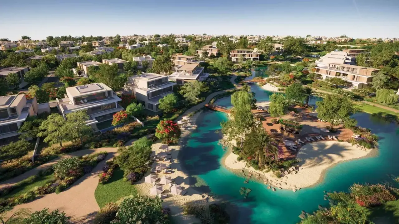
This is a new corridor of this scale, which changes buyers' perception of the communities through which it flows. Greater access to Al Maktoum International Airport helps to increase its popularity, with the airport set to expand in the coming years. The enlarged roads and improved intersections will benefit the communities along the Al Ain Road corridor, which include Dubailand and Damac Hills. The corridor is also expected to drive faster freight transport along the route and improve the airport and Etihad Rail line's logistics ecosystem near the airport, which underpins the broader commercial and industrial market in the south of Dubai.
Those who are considering villas or plots in these inland locations typically compare space and costs against coastal proximity. That gap is bridged by a faster, wider link to both Sharjah and Abu Dhabi, with commute times to both neighbouring emirates becoming more competitive than the coastal alternatives. While it's premature to link price changes to these areas, given that construction has just received approval, there's no question that the ease of access will be a consideration for many buyers comparing an inland community to a coastal community in the coming years.
Timeline: When Will It Be Ready?
Although it was announced at such a massive scale, RTA has not announced a public completion date for the entire 80km corridor. The construction is to be undertaken in two stages as described above, with each stage having its own time frame as construction progresses.
The travel-time reductions quoted throughout this guide describe the expected outcome once each phase opens, not current driving conditions. These figures should be treated as targets to aim for and not as changes that are imminent. The RTA should be followed as construction progresses to get updates on the project. In Dubai, such big projects have a history of going from approval to opening in about two years, although the timeline here will be dependent on the order of the two phases.
Closing In
Dubai's Fourth Corridor is more about the transformation of the road network's structure than about the solution to current traffic issues. The two-phase approach spreads a genuinely large project across a more manageable construction timeline. For anyone watching the city's inland growth areas, this is a project worth tracking as each phase moves from approval toward completion in the years ahead.
FAQs
What is Dubai's new 80km road called?
It is officially known as the Fourth Corridor, and will become the fourth significant route between Dubai, Abu Dhabi and Sharjah.
Where does the Fourth Corridor start and end?
It travels a distance of 80km from Al Faya Road in Abu Dhabi to Al Shanouf Road in Sharjah.
When will the Fourth Corridor be finished?
RTA hasn't released any final dates. Construction for the project will be delivered in two stages, each having its own construction program.
Which areas will benefit most from the new road?
Communities in the vicinity of Al Maktoum International Airport and the Dubai-Al Ain Road are set to reap the greatest benefits from the enhancement of connectivity.




Your gateway to offline planning in the digital realm. Discover a world of real estate opportunities through our immersive offline property website experience
Apartments
Studios
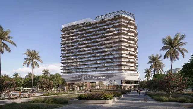
Treppan Vision by Fakhruddin
AED Price on Request
Dubai Land Residence Complex
Studio, 1 & 2
453 - 7509 Sq Ft
Apartments
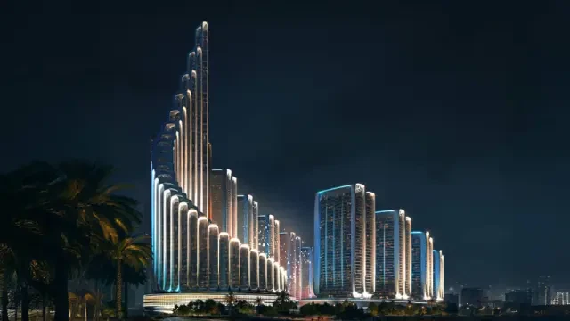
Vision Iconic by Binghatti
AED Price on Request
Meydan
1, 2, 3, 4 & 5
Apartments
Shahrukhz Residences by Danube
AED Price on Request
Dubai Maritime City
Apartments
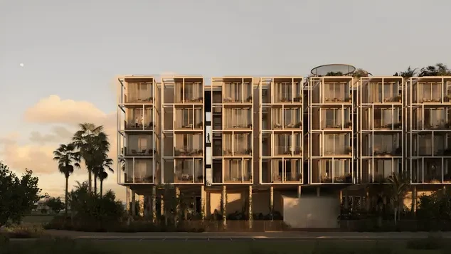
Tessera by Al Ghurair Development
AED Price on Request
Dubai South
Apartments
Duplexes
Rabdan Avenue
AED 1,300,000
Meydan
1, 2 & 3
687 - 2937 Sq Ft
Apartments
The Weave by Al Ghurair Development
AED 1,200,000
Jumeirah Village Circle
1, 2 & 3
776 - 2221 Sq Ft
Apartments
Studios
Treppan Vision by Fakhruddin
AED Price on Request
Dubai Land Residence Complex
Studio, 1 & 2
453 - 7509 Sq Ft
Apartments
Vision Iconic by Binghatti
AED Price on Request
Meydan
1, 2, 3, 4 & 5

Apartments
Aris by Grid
AED Price on Request
Dubai South
Studio, 1 & 2
Apartments
Shahrukhz Residences by Danube
AED Price on Request
Dubai Maritime City
Apartments
Tessera by Al Ghurair Development
AED Price on Request
Dubai South
Apartments
SAMANA South Haven 2
AED Price on Request
Dubai Industrial City
Commercial
O1NE District Dawn by Avenew
AED Price on Request
Motor City
Commercial
Piazza Roma by DAMAC
AED Price on Request
Damac Lagoons
Commercial
Burj Capital Phase 3 by Centurion Properties
AED Price on Request
Business Bay

Apartments
Commercial
Penthouses
The Symphony by Imtiaz
AED 2,000,000
Meydan
1, 2 & 3
640 - 4244
Apartments
Commercial
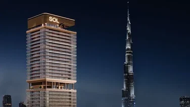
Sol Luxe Tower
AED 1,900,000
Sheikh Zayed Road
1, 2 & 3
Apartments
Commercial
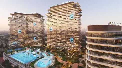
DAMAC District
AED 1,142,000
Damac hills
1 & 2
740 - 6588 Sq Ft
Apartments
Duplexes
Rabdan Avenue
AED 1,300,000
Meydan
1, 2 & 3
687 - 2937 Sq Ft
Apartments
Duplexes
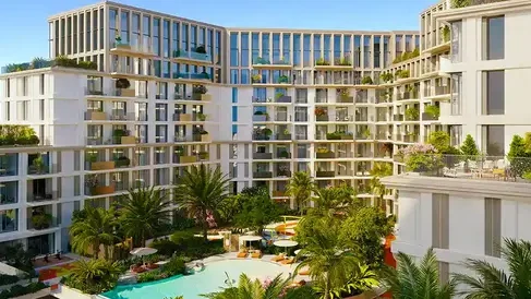
Modo at Avenew 888
AED Price on Request
Dubai South
1, 2 & 3
Apartments
Duplexes
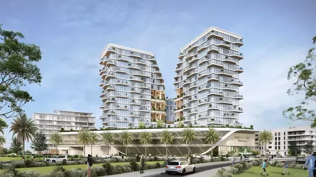
Royal Yacht Club Residence by Azimuth Development
AED Price on Request
Dubai Islands
1, 2, 3 & 4
720 - 3909 Sq Ft
Apartments
Studios
Duplexes
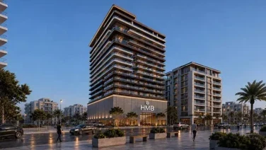
Beverly Crown by HMB Homes
AED 680,000
Jumeirah Village Circle
Studio, 1 & 2
438 - 2321 Sq Ft
Apartments
Duplexes
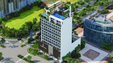
Gateway Residences by Premier Choice
AED 1,164,000
Jumeirah Village Circle
1, 2 & 3
748 - 2352 Sq Ft
Apartments
Villas
Penthouses
Duplexes
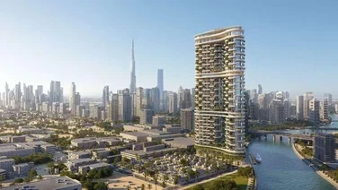
Amali Residences
AED 14,500,000
Dubai Water Canal
2, 3, 4, 5 & 6
2880 - 21000 Sq Ft
Apartments
Penthouses
Mansions
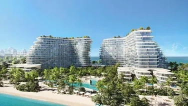
Bella by Passo
AED Price on Request
Palm Jumeirah
1, 2, 3, 4, 5 & 6
1541 - 12382 Sq Ft
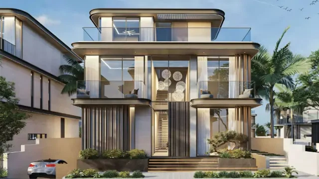
Villas
Mansions
Wellington Grand Villas
AED 20,000,000
Mohammed bin Rashid City
5 & 6
13,007 - 13,568 Sq Ft
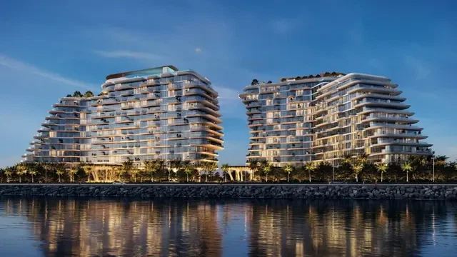
Apartments
Penthouses
Mansions
Passo by Beyond
AED 5,500,000
Palm Jumeirah
1, 2, 3, 4, 5 & 6
940 - 11830 Sq Ft
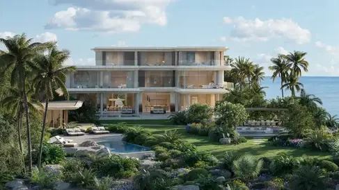
Mansions
Asora Bay Ocean Mansions by Meraas
AED 65,000,000
Jumeirah
7
41550 - 49062 Sq Ft
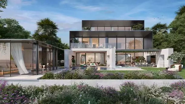
Mansions
Majid Al Futtaim Bo Monde
AED Price on Request
Tilal Al Ghaf
6 & 7
Mansions
Maldives at Damac Islands
AED Price on Request
Damac Islands
Apartments
Penthouses
77S Tower
AED Price on Request
Business Bay
1, 2, 3, 4 & 5
876 - 6500 Sq Ft
Apartments
Villas
Penthouses
Duplexes
Amali Residences
AED 14,500,000
Dubai Water Canal
2, 3, 4, 5 & 6
2880 - 21000 Sq Ft
Apartments
Penthouses
Le Chateau Pietrus by Mr. Eight
AED 3,900,000
Dubai Islands
2, 3 & 4
1017 - 7008 Sq Ft
Apartments
Penthouses
Fauchon Residences by Prestige One Developments
AED Price on Request
Jumeirah Garden City
Studio, 1 & 2
1026 - 2255 Sq Ft
Apartments
Penthouses
Duplexes
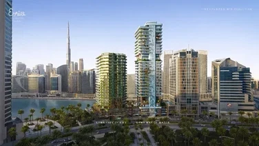
Eywa Way of Water by R.Evolution
AED 9,000,000
Business Bay
2, 3, 4 & 5
2154 - 22900 Sq Ft
Apartments
Penthouses
Duplexes
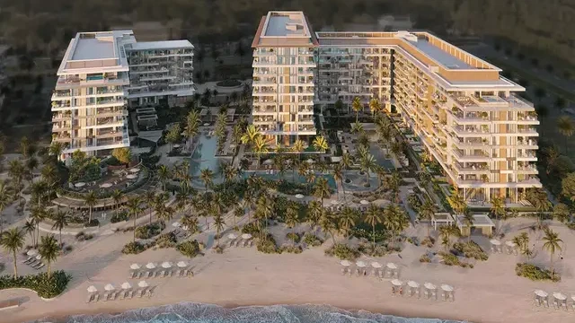
Ellington Sands 2
AED Price on Request
Dubai Islands
1, 2, 3 & 4
800 - 5964 Sq Ft
Apartments
Studios
Treppan Vision by Fakhruddin
AED Price on Request
Dubai Land Residence Complex
Studio, 1 & 2
453 - 7509 Sq Ft
Apartments
Studios
One by Nine
AED Price on Request
Nad Al Sheba
Studio, 1 & 2
563 - 1069 Sq Ft
Apartments
Studios
11 Hills Park by TownX
AED 675,000
Dubai Science Park
Studio & 1
474 - 831 Sq Ft
Apartments
Studios
Kore by Imtiaz
AED Price on Request
Dubai Land Residence Complex
Studio, 1, 2 & 3
Apartments
Studios
Oasis Residences by Al Helal Al Zahaby
AED 590,000
Dubai South
Studio, 1, 2 & 3
427 - 1992 Sq Ft
Apartments
Studios
Astra Residences by Dugasta Properties
AED Price on Request
Dubai South
Studio, 1 & 2
349 - 1792 Sq Ft
Villas
Townhouses
Bay Estate by Nakheel
AED 5,900,000
Dubai Islands
3 & 4
3054 - 11059 Sq Ft
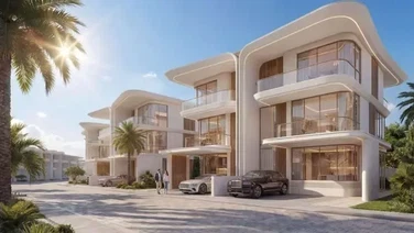
Villas
Townhouses
Greenz by Danube
AED 3,500,000
Academic City
3, 4 & 5
2400 - 3950 Sq Ft
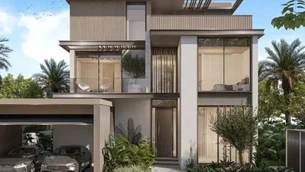
Villas
Townhouses
Meraas Nad Al Sheba Gardens 12
AED Price on Request
Nad Al Sheba
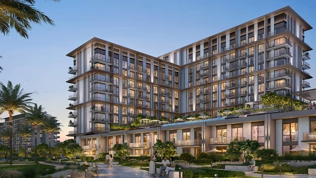
Apartments
Townhouses
EMAAR Golf Trails
AED 1,250,000
Emaar South
1, 2 & 3
719 - 2603 Sq Ft
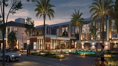
Townhouses
Verdana 9 Townhouses by Reportage
AED Price on Request
Dubai Investments Park
2, 3 & 4
Townhouses
Hayat 1 by Dubai South Properties
AED Price on Request
Dubai South
Villas
Townhouses
Bay Estate by Nakheel
AED 5,900,000
Dubai Islands
3 & 4
3054 - 11059 Sq Ft
Villas
Townhouses
Greenz by Danube
AED 3,500,000
Academic City
3, 4 & 5
2400 - 3950 Sq Ft
Apartments
Villas
Penthouses
Duplexes
Amali Residences
AED 14,500,000
Dubai Water Canal
2, 3, 4, 5 & 6
2880 - 21000 Sq Ft
Villas
Townhouses
Meraas Nad Al Sheba Gardens 12
AED Price on Request
Nad Al Sheba
Apartments
Villas
The Wilds 3 by Aldar
AED Price on Request
Dubailand
Villas
Lunaya by Zaya
AED 4,900,000
Jebel Ali
4 & 5
2966 - 8231 Sq Ft